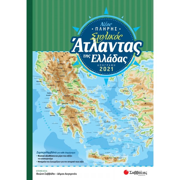
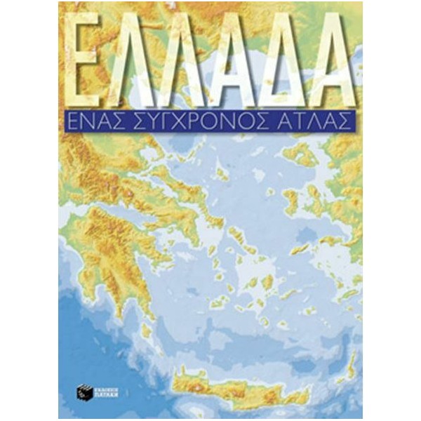
New Illustrated School Atlas Greece No1
New Illustrated School Atlas Greece No1
New Illustrated School Atlas Greece No1
New Illustrated School Atlas Greece No1
Includes:
Updated material according to the new school program
Political and geophysical maps of all prefectures with updated data (populations, 2011 census, road network, major projects)
Maps of major cities (Athens, Piraeus, Thessaloniki, Patras, Heraklion, Larissa, Volos)
Greek diaspora, Cyprus, European Union
Mythology and History of ancient times
Administrative organization, transportation, major projects
Climate, natural environment, earthquakes
Production structure and statistics
Photos
Multi-page exercise book and test compiled by teachers according to the new school curriculum
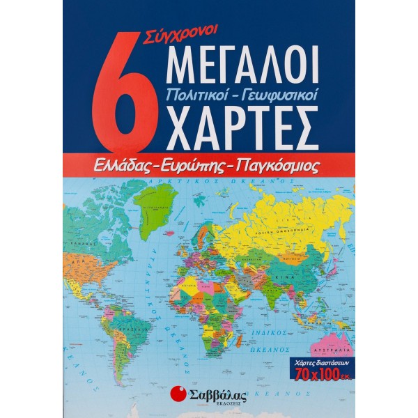
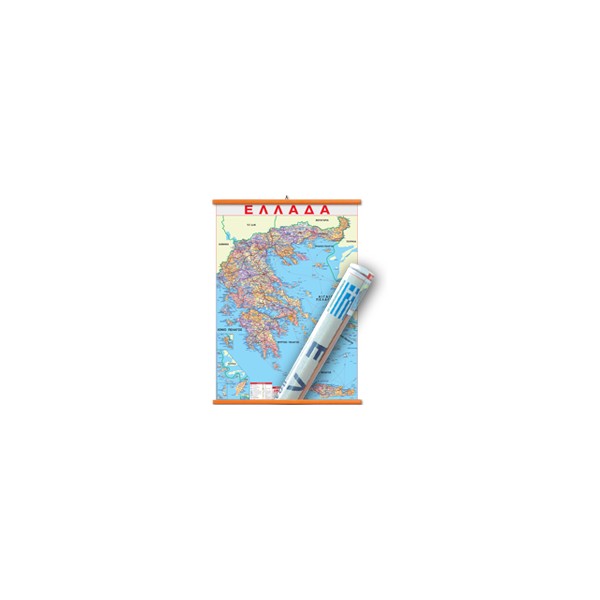
Inset political map of Greece with the new administrative division 70/100 cm
Inset geophysical map of Greece 70/100 cm on the back
Number of Pages: 62
Author: A. Siolas, E. Alexiou