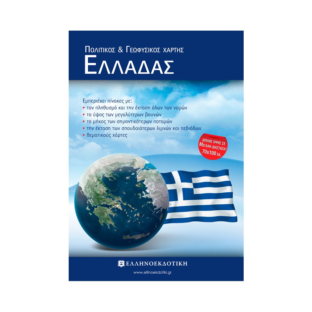
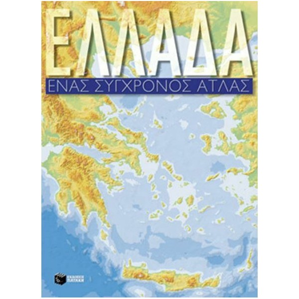
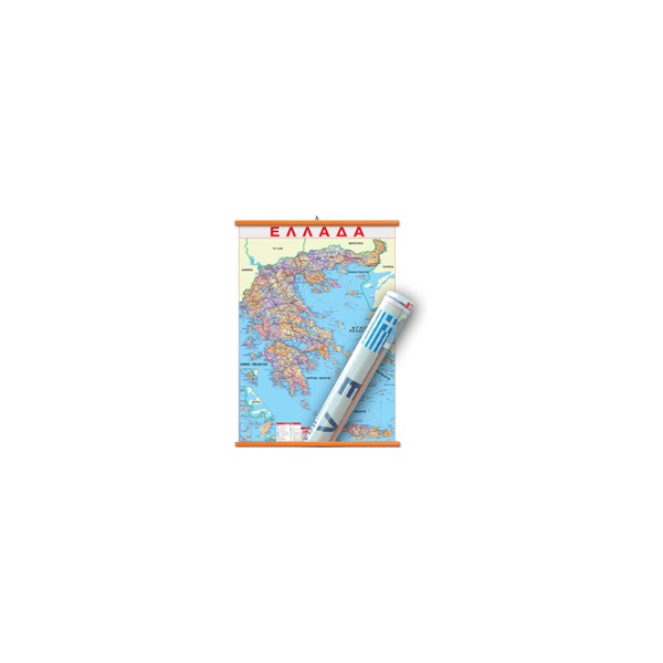
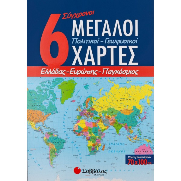
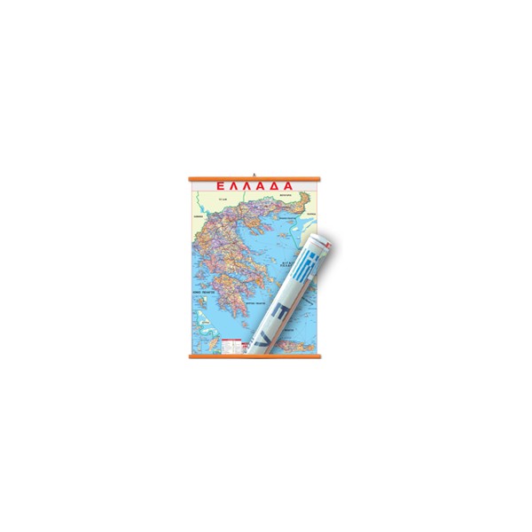
Political and Geophysical map of Greece (folded 18x25)
Plasticized with suspension materials. It contains tables with: the population and area of all prefectures, the height of the largest mountains, the length of the most important rivers, the area of the most important lakes and plains, thematic maps.
Plasticized with suspension materials. It contains tables with: the population and area of all prefectures, the height of the largest mountains, the length of the most important rivers, the area of the most important lakes and plains, thematic maps.

